rural estates and farms

“our quick-scan helps you see the possibilities of your site for biodiversity, productivity and beauty”

OUR PRESENT DAY LANDSCAPE IS AN ERODED LEFT-OVER OF A PAST THAT COMBINED BIODIVERSITY, PRODUCTIVITY AND BEAUTY.

NO WONDER THAT MANY LANDOWNERS ARE NOW LOOKING FOR NEW MEANING, FUNCTION AND FORM.

use our quickscan
We will help you find the stories and possibilities of your site, and if you’re happy with them, help them realize
If you choose to work with us, we make it very easy.
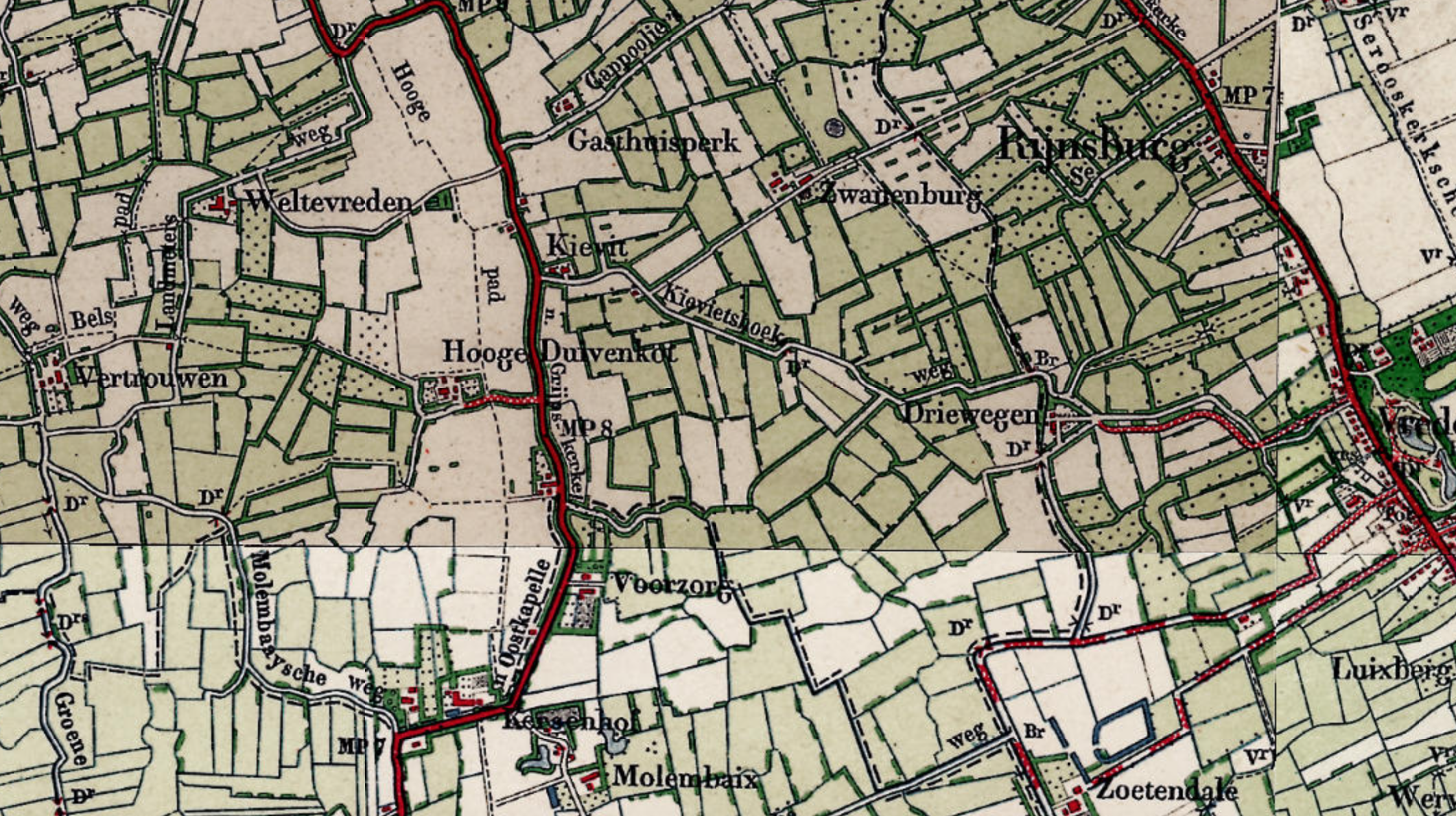
The first step is a quick-scan. We map soil, water, ecology, history and planning regulations. In a brainstorm we generate a hypothetical future for the place. We draw up a story that is site-specific, draw a design that brings up the best of the place, and come up with ideas for revenues. A food forest or agroforestry is nearly always part of this.
The second phase, if you choose to continue with us, is to translate the concept into a masterplan. It contains a precise design, enriched with illustrations, sections, explanations and calculations. Every site is unique, so for this phase and the next phase, we give you a quote on request.
the third phase is the implementation. We can oversee digging, paving and planting works. You can be as hands-on or as laid-back as you wish.
What is a Quick-scan? Arjen and Rupert explain 4 projects:
Reference project: Buitenplaats De Hoorneboeg

Our design for a food forest at Estate de Hoorneboeg, built February 2020
Review by Martijn Brugman, initiator of a 12 hectare-estate renovation:
“We needed a design of a food forest, orchard, vegetable garden, greenhouse and picking garden for an intended estate in the Veluwe. We asked Meeuwsen Muldoon if they wanted to perform a quick-scan for us in a short timespan because it would not only provide us with a first set-up but it would also be input for the permits to be applied for at the Municipality and Province.
Arjen and Wesley came to us and together with us we made an inventarisation of the country, the location, the history, spatial plans and verbal information and thus laid the foundation for the initial design. In combination with their explanation for certain choices, this resulted in a fully documented design.
The quality of the document was such that it met all the requirements of the government and relevant network partners and was included as such in the permit and financing applications.”